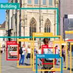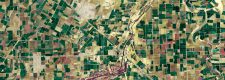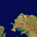
GIS & Satellite Imaging Practice
Our satellite imaging practices deliver effecient and scalable image processing and classification. Powered by leading AI solutions, and enhanced by proprietary processing and classification methods, our GIS practice offers unparalleled reliability in image identification and asset tracking.